This collection provides open access to the Introduction to Geographic Information Science (GIS) course materials. This course was originally presented in-person in the Fall 2019 at the University of Massachusetts Amherst.
GIS explores the science of spatial relationships, linking data to locations to explore relations between objects. Based in geographic thought and emerging from initial applications in natural resource management, GIS has evolved to be a universally applicable way of thinking and set of tools. Through lab work and foundational lectures, this course covers the guiding principles behind various facts of GIS including the nature of spatial data, map projections, spatial analysis, and cartographic production. By evaluating the relationship between different spatial information you can identify the best location for new development, locate pollution point sources, find the easiest way to get from point A to point B, and develop a better understanding of the way the world interacts. The goals of this course are to teach you basic GIS concepts through practice and theory to enable you to make useful and meaningful contributions to various disciplines through spatial analysis. Throughout this course, you will be challenged to not only think spatially, but apply spatial analysis techniques within GIS. GIS lab exercises were conducted in ArcGIS version 10.1.
-

Unit 1
Forrest J. Bowlick
This unit contains materials on introductory concepts and practice, and an ArcGIS 10.1 installation guide.
-

Unit 2
Forrest J. Bowlick
This unit contains materials on cartographic basics (data formats, querying, shapefile basics) concepts and practice, and a brief exercise reviewing Unit 1 concepts.
-

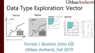
Unit 3
Forrest J. Bowlick
This unit contains materials on vector data analysis concepts and practice, and a brief exercise reviewing Unit 2 concepts.
-

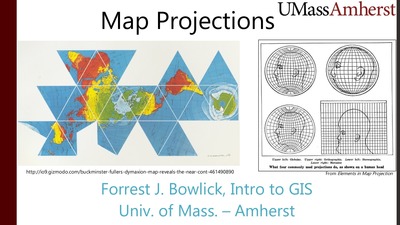
Unit 4
Forrest J. Bowlick
This unit contains materials on projections concepts and practice, and a brief exercise reviewing Unit 3 concepts.
-

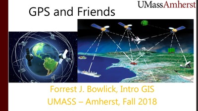
Unit 5
Forrest J. Bowlick
This unit contains materials on global positioning systems concepts and practice.
-

Unit 6
Forrest J. Bowlick
This unit contains materials on database management concepts, and additional review and practice (study guide, practice exam, and practice exam data) of concepts presented in Units 1-5.
-

Unit 7
Forrest J. Bowlick
This unit contains materials on data creation and editing concepts and practice, and a brief exercise reviewing Unit 4 concepts.
-

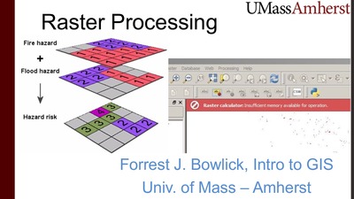
Unit 8
Forrest J. Bowlick
This unit contains materials on raster data processing concepts, and a brief exercise reviewing Unit 5 & 7 concepts.
-

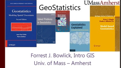
Unit 10
Forrest J. Bowlick
This unit contains materials on geostatistics concepts and practice, and a brief exercise reviewing Unit 8 concepts.
-

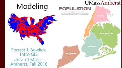
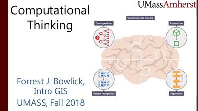
Unit 12
Forrest J. Bowlick
This unit contains materials on computational thinking concepts, and a guide for designing academic posters.
-

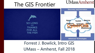
Unit 13
Forrest J. Bowlick
This unit contains materials summarizing concepts reviewed in this course and other interesting GIS applications across fields.

